With technology leaping to the forefront of the battle against the pandemic, Inside Telecom examines GIS technology, one of the most recent developments to help mitigate the spread of the virus.
Geographic information systems, or more commonly known as GIS technology, combines location with real time or static data. In turn, the technology analyzes, manages, collects and shares data to achieve what is known as location intelligence.
Deeply rooted in the science of geography, GIS technology incorporates several types of data. It has the ability to utilize large data sets from various sources and represent them meaningfully in real time dashboards, analytical tools, and application.
Visualizations can be produced immediately, which shed light and give insights into critical cases. Geographic information systems can be used for several problems and has the potential to better handle complex situations with a purpose of enabling smarter decision making.
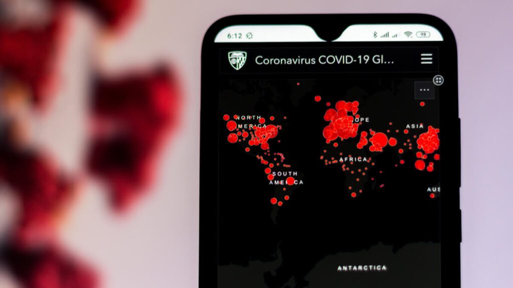
Public Health Agencies and governments have started to use GIS technology in addressing COVID-19 issues. On a global level, geographic information system technology is being used to show the spread of the virus over time and across the world. It is also being applied in contact tracking and tracing.
GIS technology can also forecast health needs and spikes, and can support the delivery of vital PPE and can facilitate the delivery of medicine to the elderly population. In addition, mapping data is being implemented to provide local authorities with key information. It can tailor data and general reports regarding local demographic, health, and economic health statistics.
Government use of geographic information system technology has additional communication purposes. By sharing a situation assessment through maps, apps and dashboards the public can aid in locating more cases. Local governments are also producing story maps that keep citizens up to date with all that’s going on around them.
GIS technology is also used to communicate emergency information about public notices, school closures, and other pandemic related measures.
