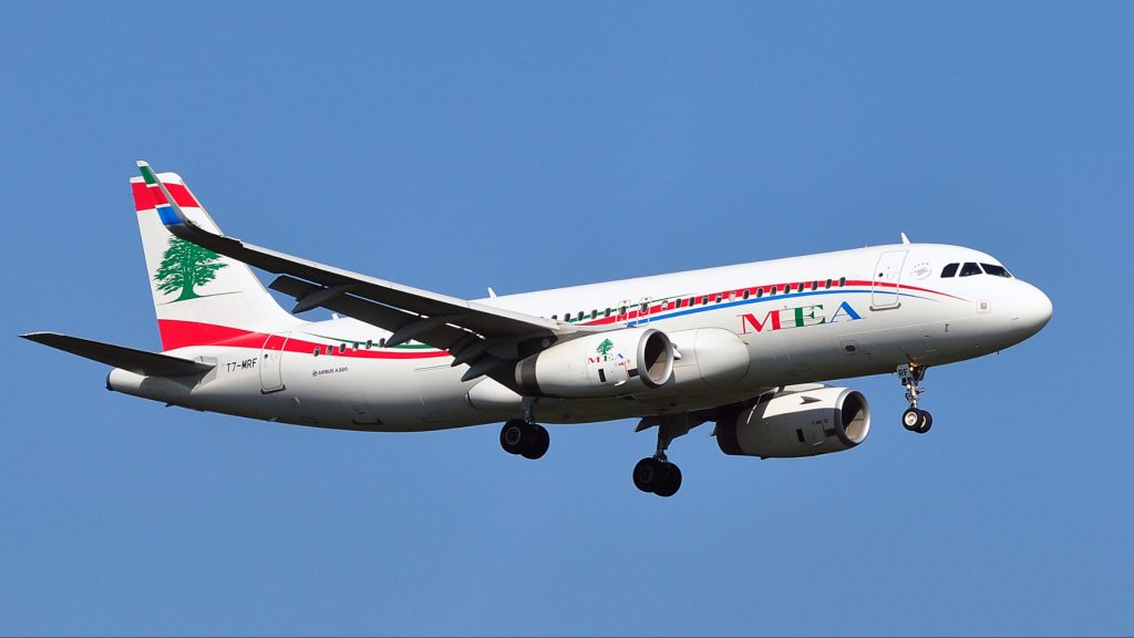
A recent report on how the Israeli military’s deployment of GPS-disruptive technology in southern Lebanon is affecting the civilian population is interesting, but just barely scratching the surface.
Interesting because a sector you wouldn’t even dream of being disrupted is being severely tested; the fishing industry. GPS tells fishermen where the fish are, literally. So if the Poisson du jour has been off the menu for a while in your favourite Beirut restaurant, it’s because the fishing boat that would have delivered this treat was approximately 40 kilometres from where the poissons were frolicking without a care in the world.
Photographers and videographers have faced challenges too. The Anti-GPS tech that brings down, or at least confuses, military drones doesn’t discriminate between these and the civilian variety. One minute your drone is hovering over Roman ruins, the next it is a ruin.
But why the above-mentioned report only scratches the surface is because of the threat to passenger aircraft. Not a direct threat to human life, mind you. But a real problem to flight crew and air traffic control (ATC).
Airlines and ATC have relied on GPS for over forties years. When it was introduced, 750 million passengers were flying annually. Just prior to the pandemic, that figure rose to almost 5 billion. As its full title – Global Positioning System – indicates, GPS has long since become the primary source of navigation traffic control for civil aircraft. Radar and human sight have become the back-ups.
Ask most pilots about GPS and they invariably tell you a joke about an occasion when the captain of a 747 woke up 360 passengers on a long-haul flight with the following announcement.
“Good morning from the flight deck. We trust you’ve had a restful flight. For passengers on the left side on the aircraft, you can now see the beautiful coast of Florida coming into view as the sun rises over its lush landscape.” Passengers on the left side of the aircraft dutifully looked out of their windows. At the beautiful coast of Greenland! A flat whiteness that stretched to the horizon, with a ferocious North Atlantic gale battering at its edges. Then the pilot who told you this joke would burst out laughing, callously indifferent to the anxiety now imprinted on your brain.
But unlikely as the story in the joke is, it makes a point. Today, an airliner cannot function without GPS. Any disruption to it and you may see that you’re above Lebanon, but your GPS is insisting you’re flying over Yokohama.
Midair collisions are extremely rare, and have been for the same forty or so years GPS has been in operation. But with the amount of aircraft in the air having quintupled since then, the chances of an accident increase dramatically when GPS is down or having a crazy moment.
I Spoke to Some Pilots about GPS
First, Sean Taylor, a rookie who’d just passed his flying test. When pressed, he felt there was perhaps too much emphasis placed on GPS in training, leaving pilots more vulnerable than they should be in case of a mishap. (I nodded and suggested that we editors have the same problem with over-reliance on ChatGPT. He nodded or shook his head, I can’t remember, and responded “yeah, whatever”.)
The other pilot I spoke to was a retired 747 pilot. Gavin Bosse was a junior officer on one of the first GPS commercial airliners having moved from radar-only. After giving me a whole lot of highly technical jargon, he recalled a time when British Airways, Alitalia, Lufthansa and Air France – flying out of Johannesburg – would head north over Africa in formation to create a larger blip on dodgy ground radar in Zimbabwe, Zambia and Malawi. 3 out of 4 pilots were mightily relieved with the arrival of GPS because they no longer needed the ‘bigger blip’. Of course, 1 out of 4 pilots was saddened that he could longer fly by the seat of his pants. Pilots, eh?
But Seriously…
There isn’t a ‘no-fly zone’ in place over either Gaza, Israel or Lebanon. The political ramifications are just insurmountable. But there are a few official advisories, however, cautioning against commercial aircraft overflying these territories. However, you can’t compare traffic volumes to South East Asia, Europe, North America and the North Atlantic corridor. But the zone does carry high altitude activity from the Arabian Peninsula to Europe and North America. In other words, there would be an impact. Not necessarily the type of impact that involves 600 tonnes of metal colliding at 1200 km/h, but definitely a 10,000 metre high traffic jam. Imagine being at a crossroads and all the traffic lights are green. The confusion of conflicting GPS data evokes exactly the same uncertainty.
The possibility of a civilian midair collision becomes a threat which looms large in every pilot’s mind when GPS is not working. Even more so when overflying a conflict zone, because it’s no longer a nuisance, it may be a deliberate threat. And that’s how GPS disruption could affect you.
So, now you have two questions to ask when choosing the airline with which you wish to travel.
First, is the plane a Boeing 737 Max?
Second, how close to Israel, Lebanon, Palestine, the Red Sea and/or Ukraine will we be flying?
Inside Telecom provides you with an extensive list of content covering all aspects of the tech industry. Keep an eye on our Insights sections to stay informed and up-to-date with our daily articles.