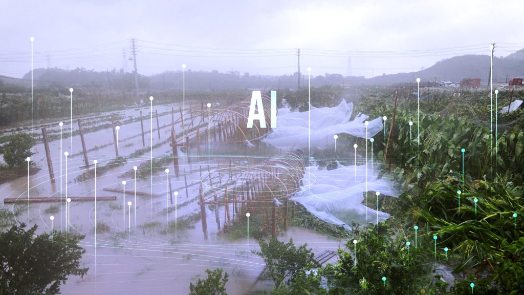
AI flood control platforms are substituting the manual river gauge readings and reactive dispatch protocols that have long dictated water management protocols. AI flood control is architecturally rewiring how cities read, interpret, and respond to hydrological threats before they become humanitarian crises.
China began using AI, digital twins and AI flood control platforms as peak season begins, helping authorities predict rising water, map danger zones, issue warnings and direct emergency teams before disasters threaten communities and infrastructure.
The AI flood risk analysis software push follows weeks of heavy rain that placed parts of southern China on alert earlier this year. Guangdong and Guizhou activated emergency flood responses as saturated soil. Repeated rain bands and swollen waterways increased the danger of flash floods, landslides, and urban waterlogging, according to CGTN.
AI flood detection systems are the convergence of live satellite telemetry, radars with ground penetration capabilities, and machine learning inference engines that can process meteorological inputs at a speed and scale no human monitoring network can ever match.
Where traditional flood warning technology measured risk in gauges rising and dispatchers responding, AI flood forecasting measures it in probability, generating actionable lead time, measured in hours, not minutes.
Agents Turn Data into AI Flood Warnings
At a technology company in Beijing, an emergency command platform is bringing rainfall, river levels, weather forecasts and known flood-risk locations into one system.
The AI flood risk analysis software directly translates the operation, by enabling emergency centers to automate hazard identification across vast hydrological catchment areas, converting raw atmospheric data into reservoir discharge recommendations, vulnerability scores, and automated evacuation sequencing before the floodwaters approach urban perimeters.
When the AI flood detection technology identifies a serious threat, alerts can go directly to relevant departments, helping officials send rescue teams without waiting reports to pass through several offices.
The AI flood platform has been deployed in more than 10 Chinese provinces and cities, including Beijing, Sichuan and Henan, covering mountainous districts and urban areas, where flooding can develop quickly and roads may become blocked during fast-moving emergencies.
The wider AI flood detection system also combines satellite observations, weather radar, and hydrological models. Authorities use these tools to improve warnings and monitor reservoirs, river embankments, drainage networks, and low-lying communities in real time.
China’s Ministry of Emergency Management instructed local governments to widen warning coverage, so alerts reach villages, homes and construction sites faster. A precise AI flood forecasting forecast offers limited protection unless people and frontline responders receive it early enough to act on the ground.
Researchers are also testing AI flood forecasting for short-range weather prediction. A model developed by Hong Kong University of Science and Technology scientists uses China’s Fengyun-4 satellite data to forecast heavy rain and thunderstorms up to four hours ahead.
Testing AI flood forecasting improved accuracy by more than 15% during trials.
Digital Twins Give Water Systems a Virtual Test
The Ministry of Water Resources is expanding a nationwide digital twin system to create virtual copies of rivers, lakes, and water projects. Using big data, cloud computing, and intelligent technology, the AI flood control system simulates water movement under different conditions to guide reservoirs and infrastructure management.
In the Pearl River basin, a Hydro Multi-Processes Modeling system simulates northern basin flooding within three minutes over a 72-hour forecast window. The speed allows managers to compare scenarios, identify pressure points, and plan interventions before the predicted peak arrives.
Officials said that digital twin technology has retained more than 81 billion cubic meters of floodwater and prevented flooding in more than 1,700 cities and towns in the basin, demonstrating that AI in weather forecasting and AI flood control models have transitioned from experimental tools to daily operational assets.
An official at the ministry’s Information Center, Wang Rong, said, “Since the beginning of the flood season, a total of 549,000 flood forecasts have been released.”
Authorities also issued 2,437 water-level warnings, with information sent directly to AI flood prediction teams. The volume highlights how automated analysis can support officials facing many rivers, reservoirs, and risk points at the same time, especially during overlapping storms.
China’s water authorities have described the 2026 flood environment as complex. The country may face severe floods in some areas and drought in others, while stronger northern flooding and typhoons moving farther inland could place new pressure on regions with different levels of AI-based flood risk assessment preparedness.
AI flood control technology cannot stop extreme rain, but it can narrow the time between detecting danger and organizing a response.
China’s flood warning technology approach now depends on connecting forecasts, digital infrastructure and local warning channels, turning large amounts of environmental data into decisions that protect people before water reaches homes, roads and public services.
Inside Telecom provides you with an extensive list of content covering all aspects of the tech industry. Keep an eye on our Intelligent Tech sections to stay informed and up-to-date with our daily articles.